

Parrot, Drone Harmony partner for improved data collection flights
source link: https://dronedj.com/2022/10/24/parrot-drone-harmony/
Go to the source link to view the article. You can view the picture content, updated content and better typesetting reading experience. If the link is broken, please click the button below to view the snapshot at that time.

Parrot, Drone Harmony partner for improved data collection missions
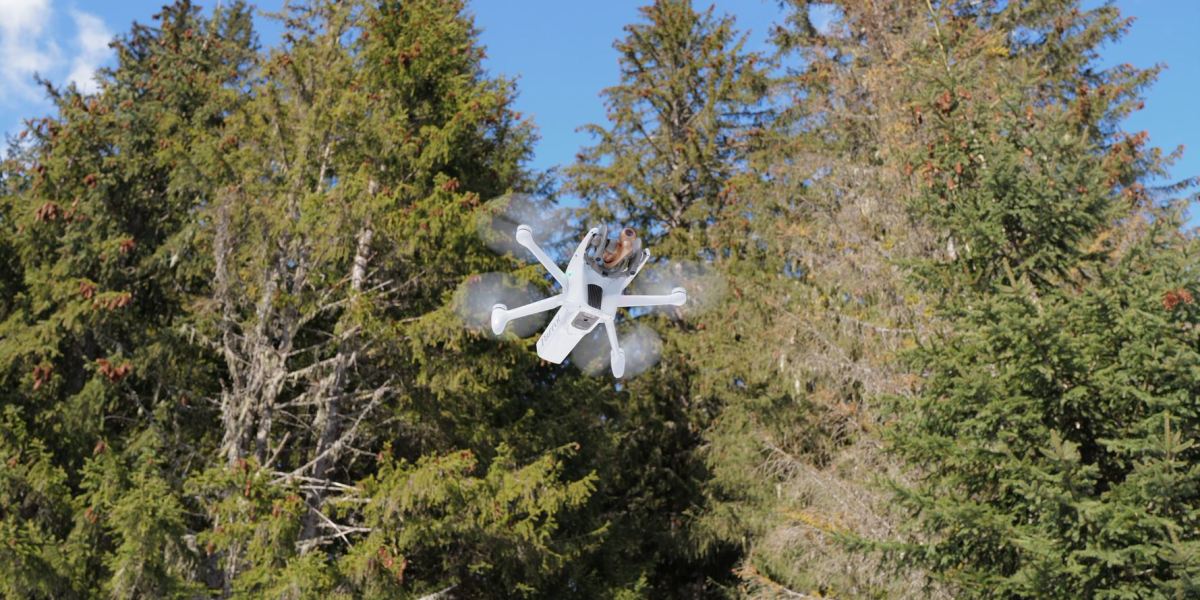
Two European UAV sector leaders have joined forces to permit Drone Harmony’s automated mission software to be used with ANAFI Ai aboard Parrot drones, improving data gathering performance on mapping and inspection flights.
The partnership seeks to further strengthen the mapping, surveying, and inspection work of Parrot’s top-of-the-line, 4G-connected professional drones by using Drone Harmony software to create precise 3D models of target structures in even the most challenging of settings. To demonstrate the power of the linkup, Parrot is planning to unveil a digital twin of an iconic French monument in the next few weeks – a model it says is made up of 45,000 pictures and a billion triangles.
Parrot and Zurich-based Drone Harmony says their common initiative ensures high-quality and safe data collection using onboard ANAFI Ai tech, thereby leveraging the UAVs’ photogrammetry capabilities to capture 48 MP images at one frame per second. The more efficient mission execution provided by Drone Harmony software, they add, allows for faster data collection of structures without loss of quality, meaning larger areas can be entirely covered in a given period of time.
Drone Harmony’s application allows operators of inspection drone missions to eliminate errors by optimizing the UAV’s position, allowing it to capture the most accurate data. The Swiss company’s flight planner considers the ground level for large scale topography missions, as well as the areas of building facades and industrial infrastructure being mapped or inspected.
Read: High-tech combat specialist 4GD partners with Parrot’s ANAFI USA drones
Moreover, 4G connectivity of Parrot’s ANAFI Ai means automated missions orchestrated by Drone Harmony tech can perform fast, accurate data collection even in urban areas where structural and other interferences often make Wi-Fi connections challenging.
The software and artificial intelligence-enhanced hardware combination results in what the partners call an ideal solution for quick, accurate 2D and 3D model creation of buildings, telecommunications assets, power lines, industrial sites, bridges, railways, mines, mountains road, quarries, forests, and cliffs.
Compatibility of Drone Harmony’s application is a direct extension of Parrot’s strategy of tech openness. Parrot actively promotes open source for development, allowing programmers to use Parrot SDK to develop their own applications and embed their code on the drone.
Parrot ANAFI Ai is well suited for the open-source standard protocol MAVLink v1 that Drone Harmony uses to share entered flight plans. Once those are created, they can be communicated through Parrot’s FreeFlight 7 app designed to control Parrot ANAFI Ai. The flight plan then appears on the usual app interface, and can be run as any other FreeFlight mission.
Recommend
About Joyk
Aggregate valuable and interesting links.
Joyk means Joy of geeK